
 | ||||||

Area
Photos
Page

Charbonneau Drive
Floyd Drive
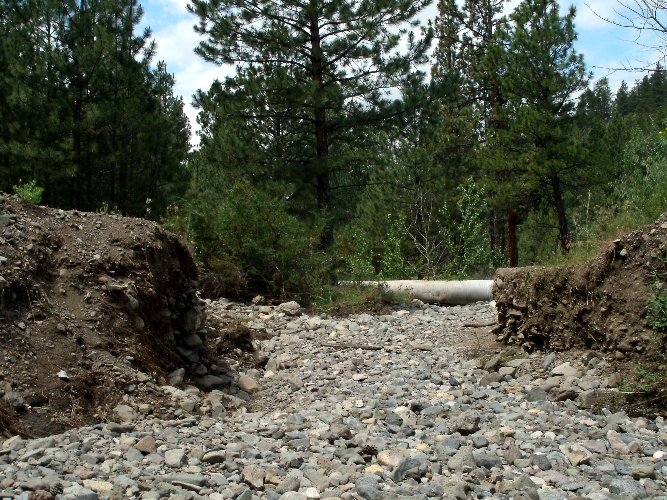
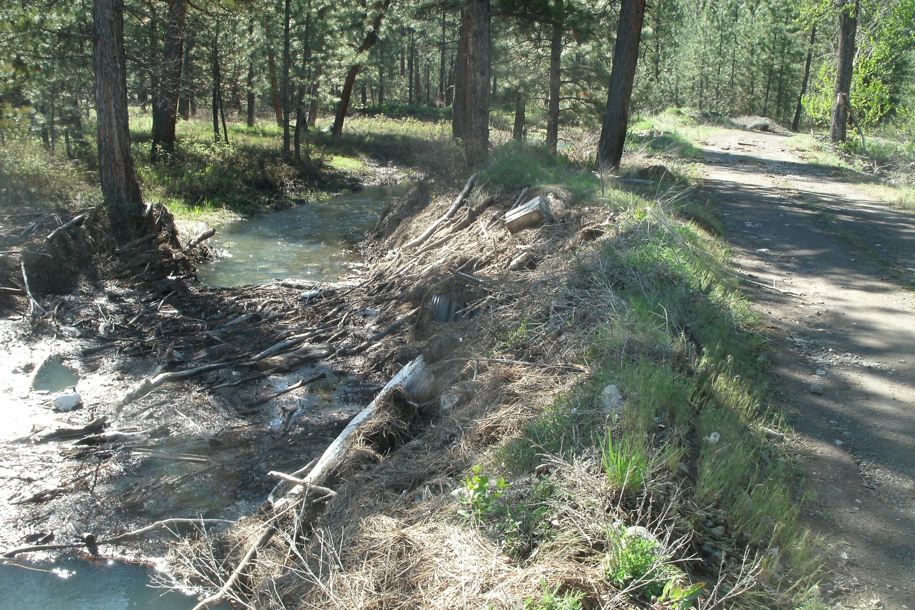
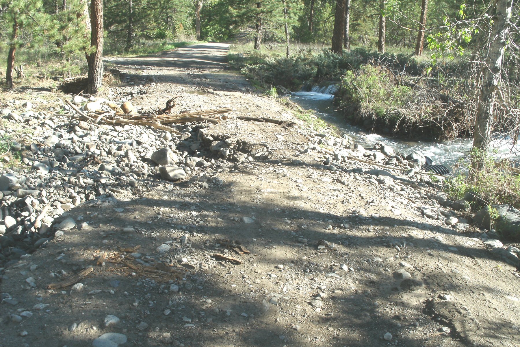
The Log in the Photos Above is resting on two, 2 foot diameter culverts in a streambed partially supporting the North End of Floyd Drive at the North Fork of Stickney Creek. It is just a matter of time until the log is Washed out, Rots out , etc AND THE ROAD COLLAPASES. A question that could be asked is who puts a log on two culverts in a streambed to support a road and why are our Landowner Fees being used for this type of construction. This condition has existed for at least 5 years.
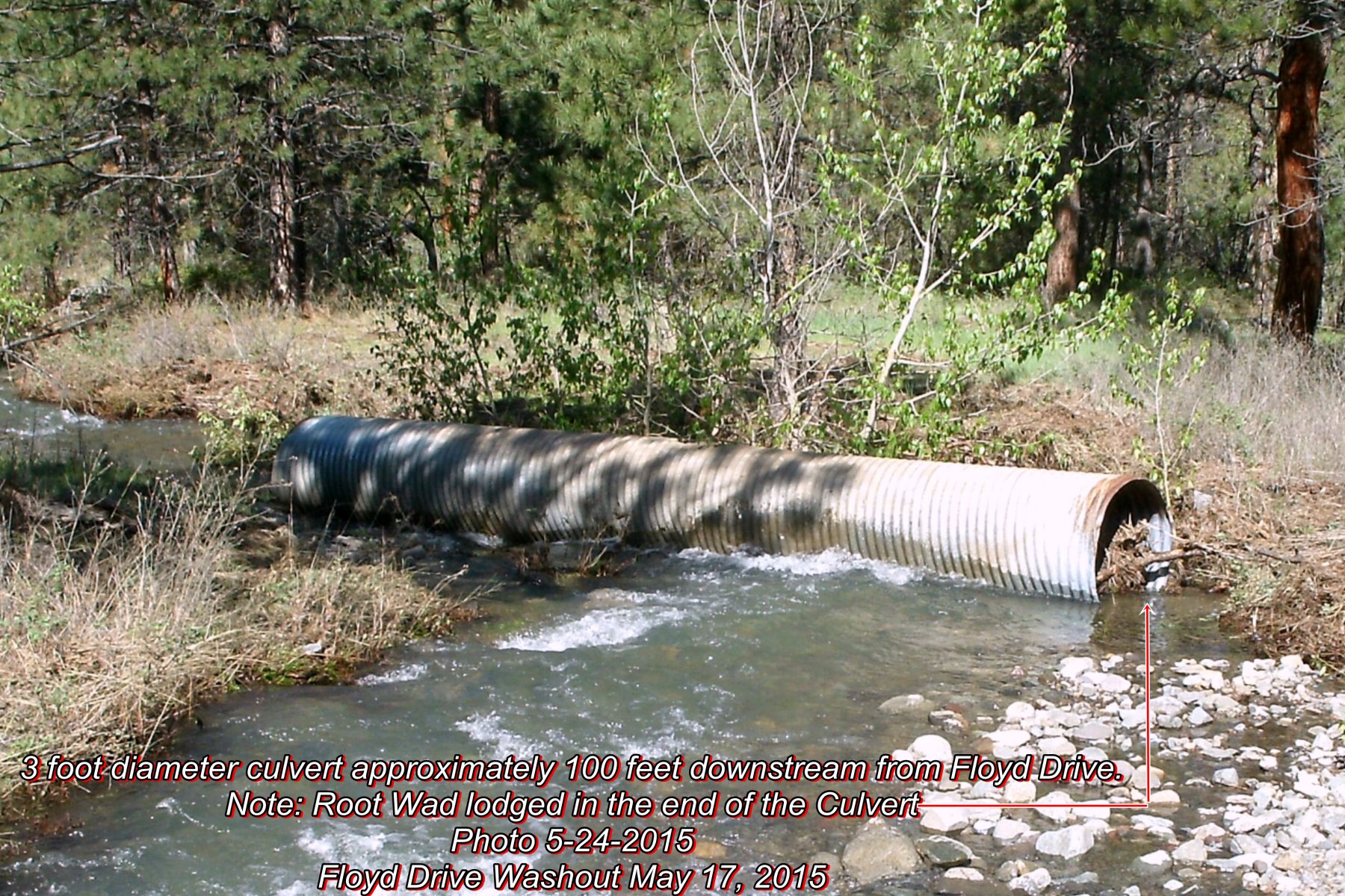
2 of the 3 Photos Above show the 3 foot culvert that was washed out in 2015 at Floyd Drive. The second photo shows the Root Wad still lodged in the end of the culvert which contributed to the Floyd Drive washout (see Engineering Report).
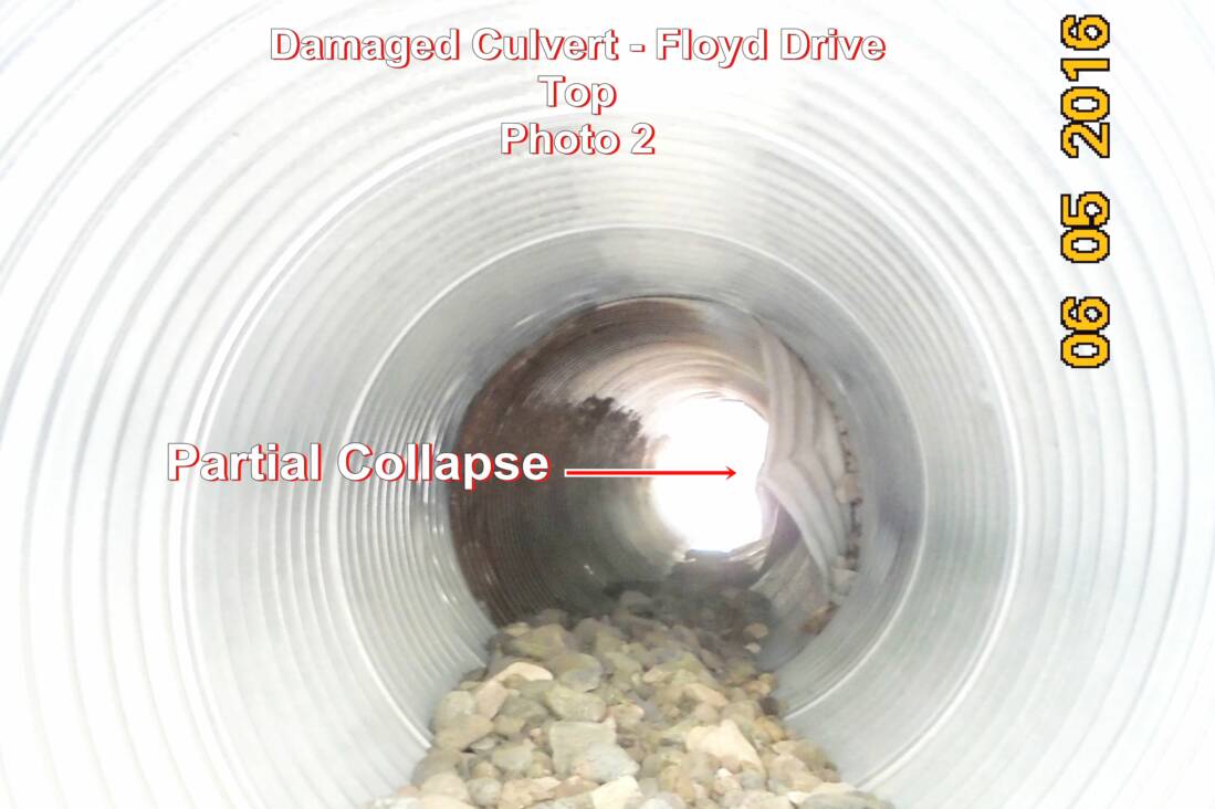
The third photo shows one of the replacement culverts that were installed in 2015. This culvert is partially collapsed. This collapse was a result of being improperly backfilled. This condition was brought to the attention of the Road Committee Chairman on August 20, 2015 by a representative from the Army Corps of Engineers during the August 20, 2015 inspection.
The Company that performed the work replacing and repairing the culverts in June of 2015 was never contacted and asked to repair this condition even though they caused the damage.
The Engineering Report states "A section of pipe in the middle third of the culvert has been partially crushed. One of the joints is bent and is allowing the bedding gravel to enter the pipe. If the pipe is left in this condition, it will eventually scour the bedding gravel around the pipe and fail again".
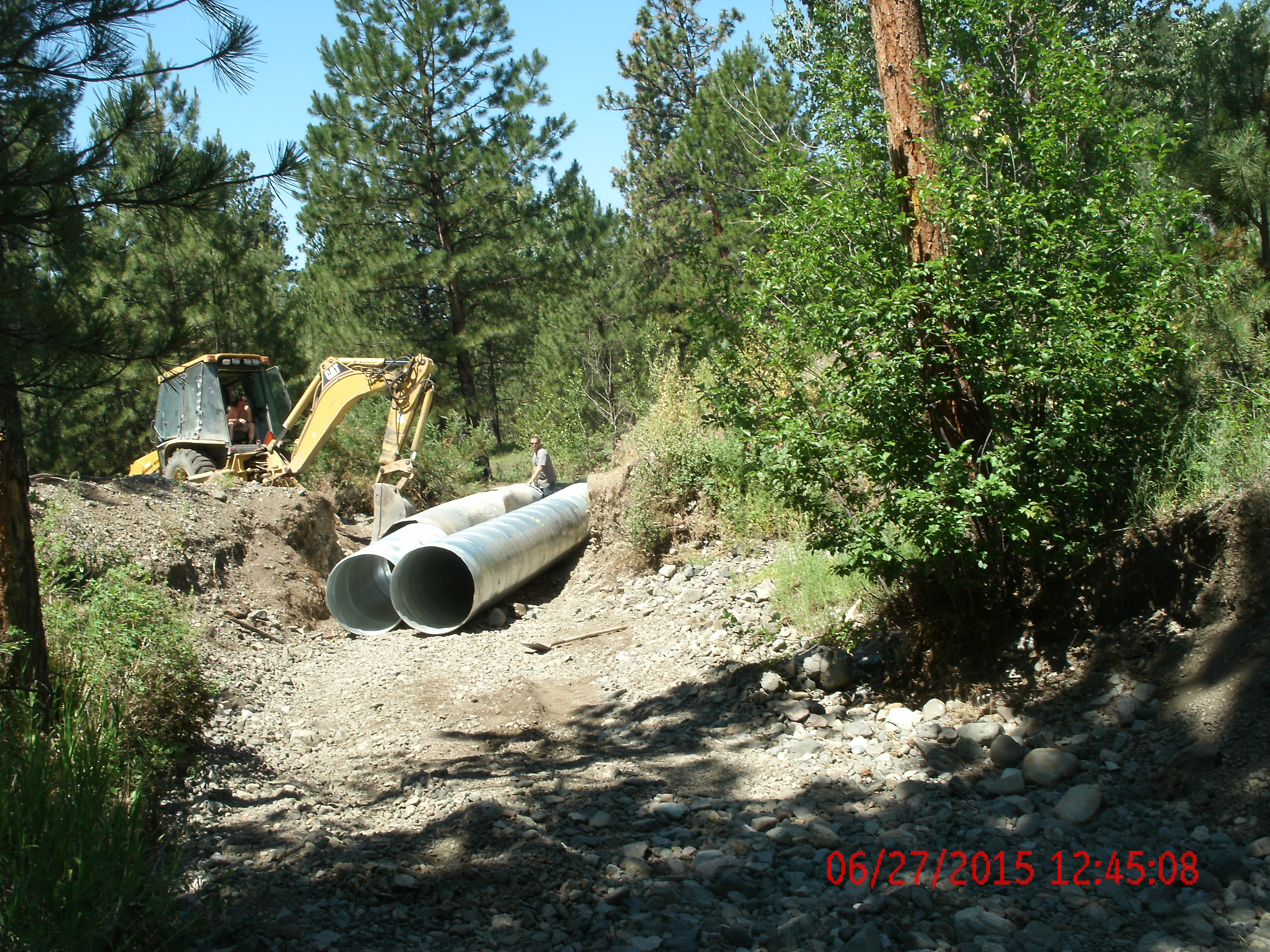
Floyd Drive culvert Replacement and Repair June 27, 2015
Why is this Important
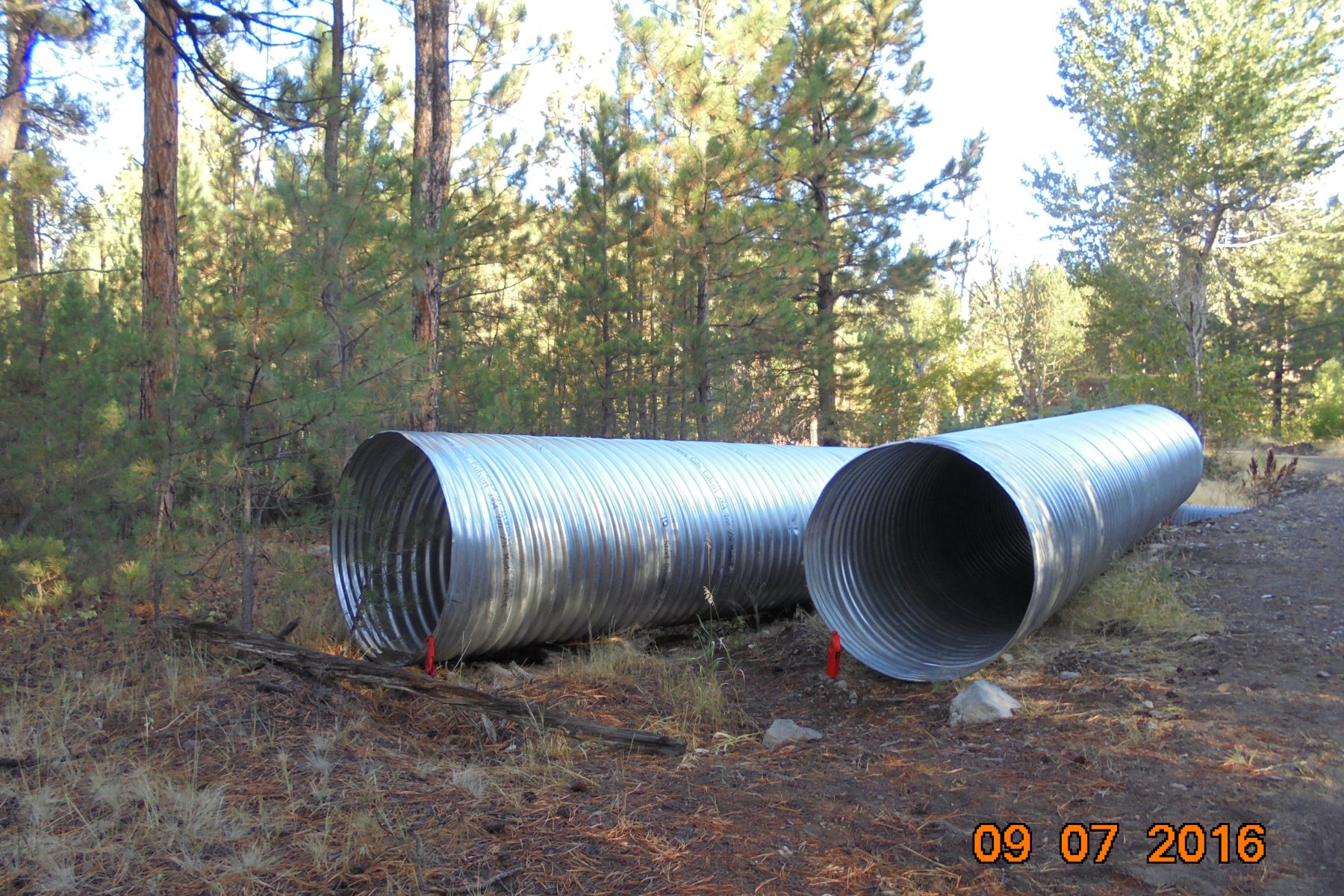
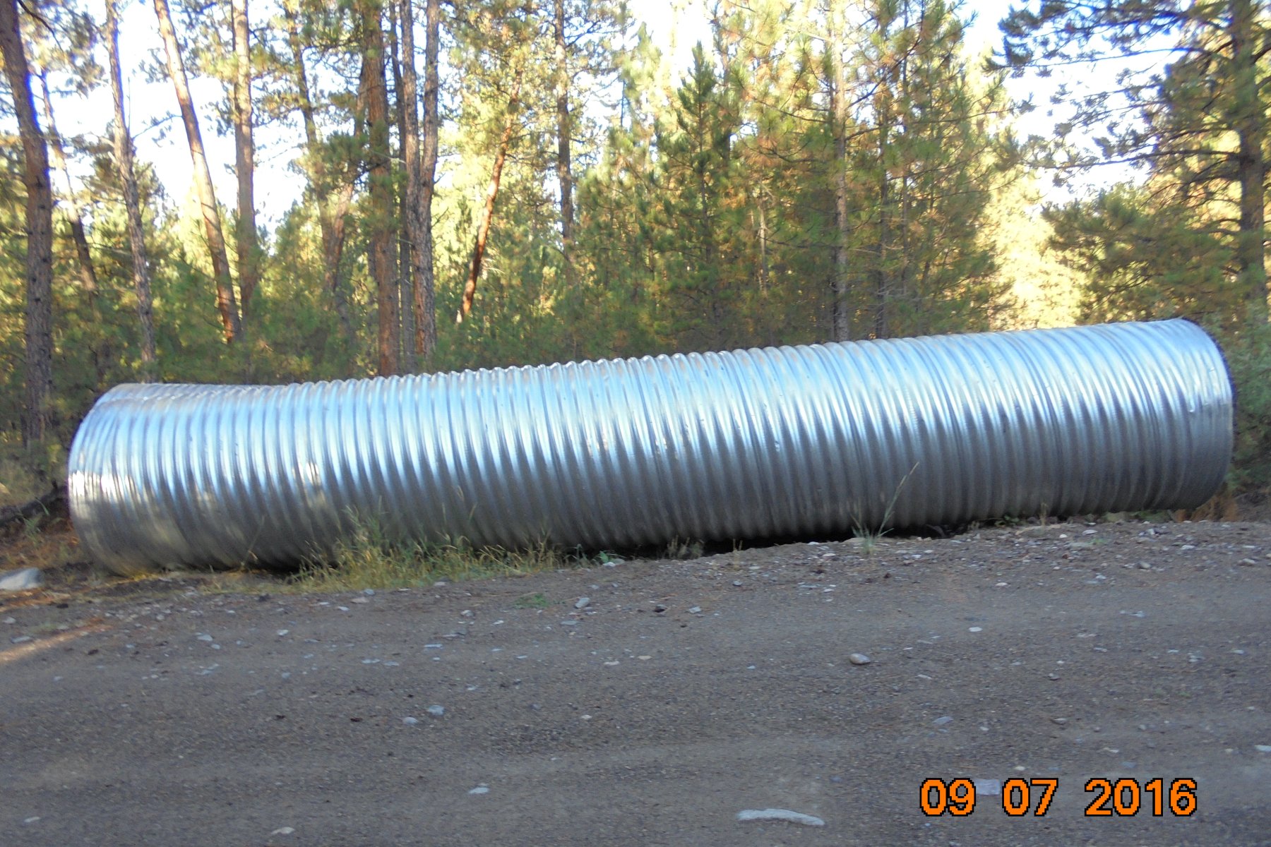
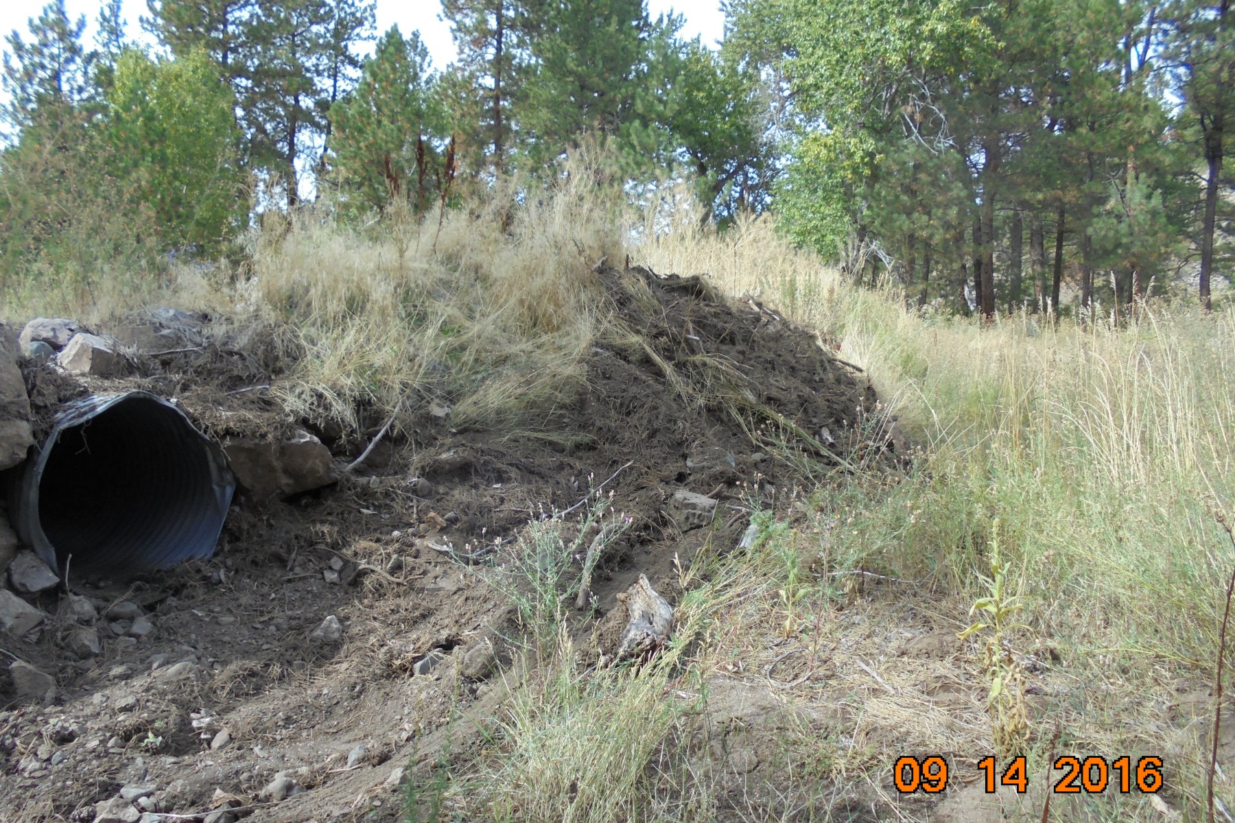
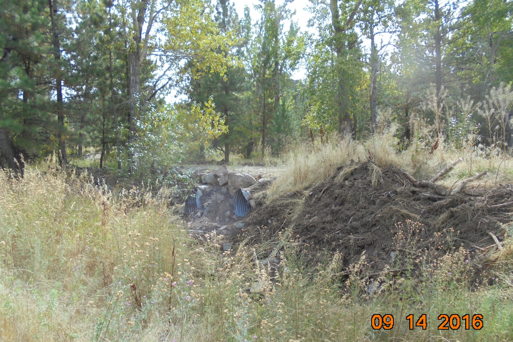
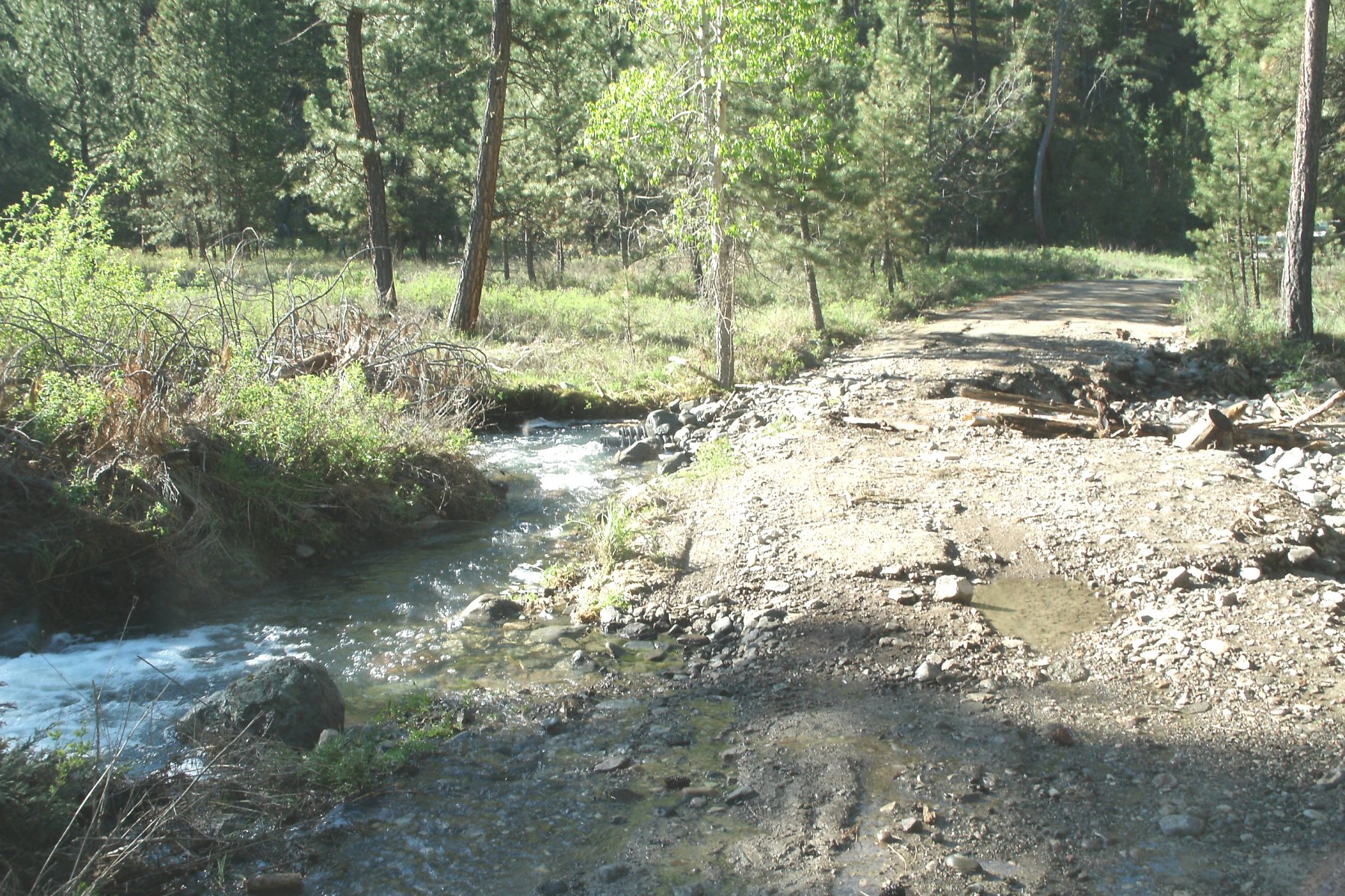
These 2, 5 foot diameter 30 foot long culverts have been installed at Floyd Drive and the North Fork of Stickney Creek (see photos below). This is a step in the right direction in solving the culvert and washout issues at Floyd Drive.
The question arises, why were thousands of dollars of Landowner Fees spent on the Installation of Non permitted, Insufficiently Designed, and Undersized culverts in the first place?
Floyd Drive Washed Out and Washed Out Culvert
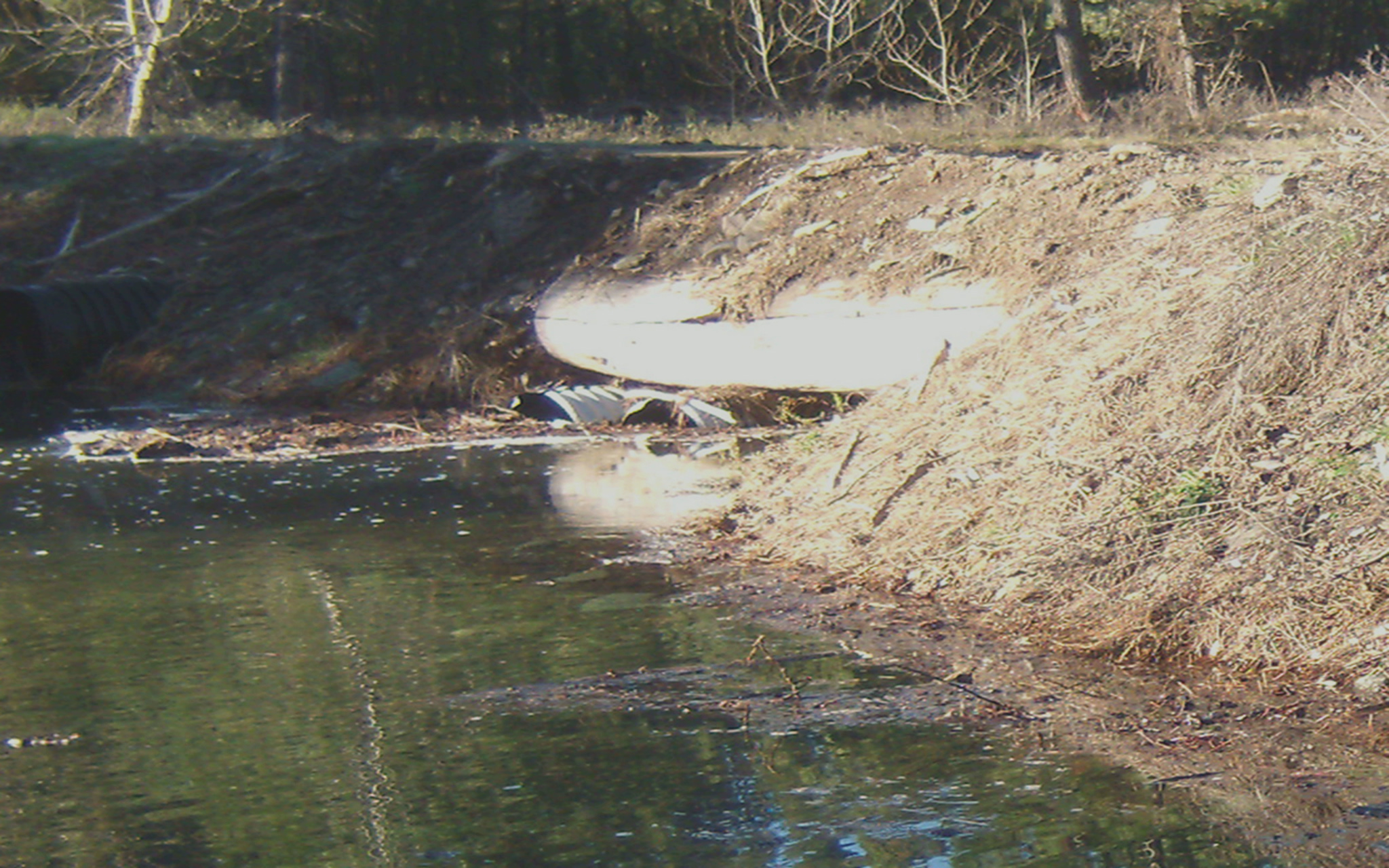
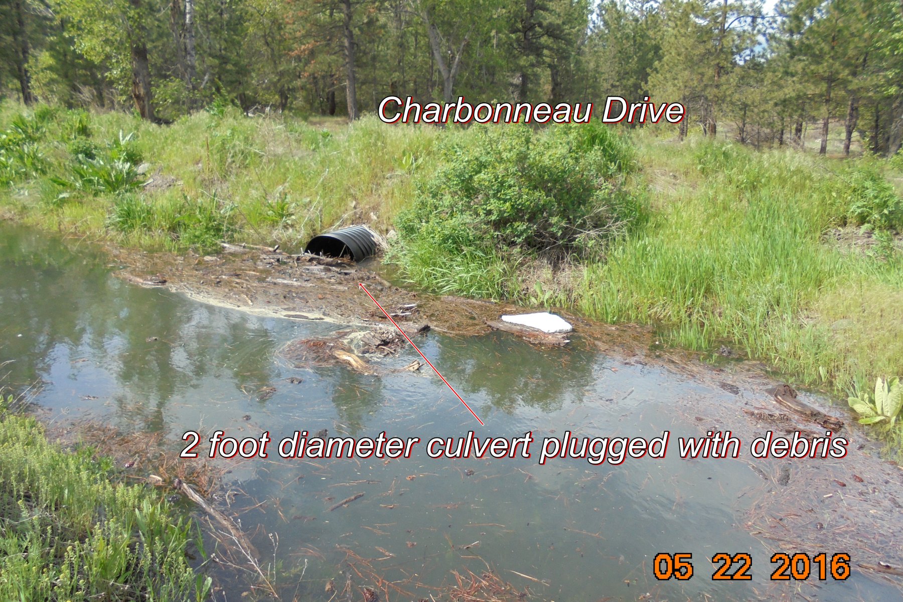
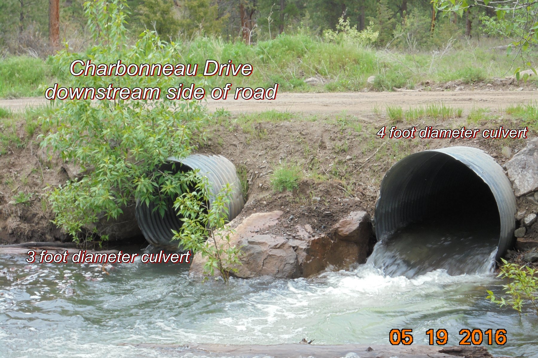
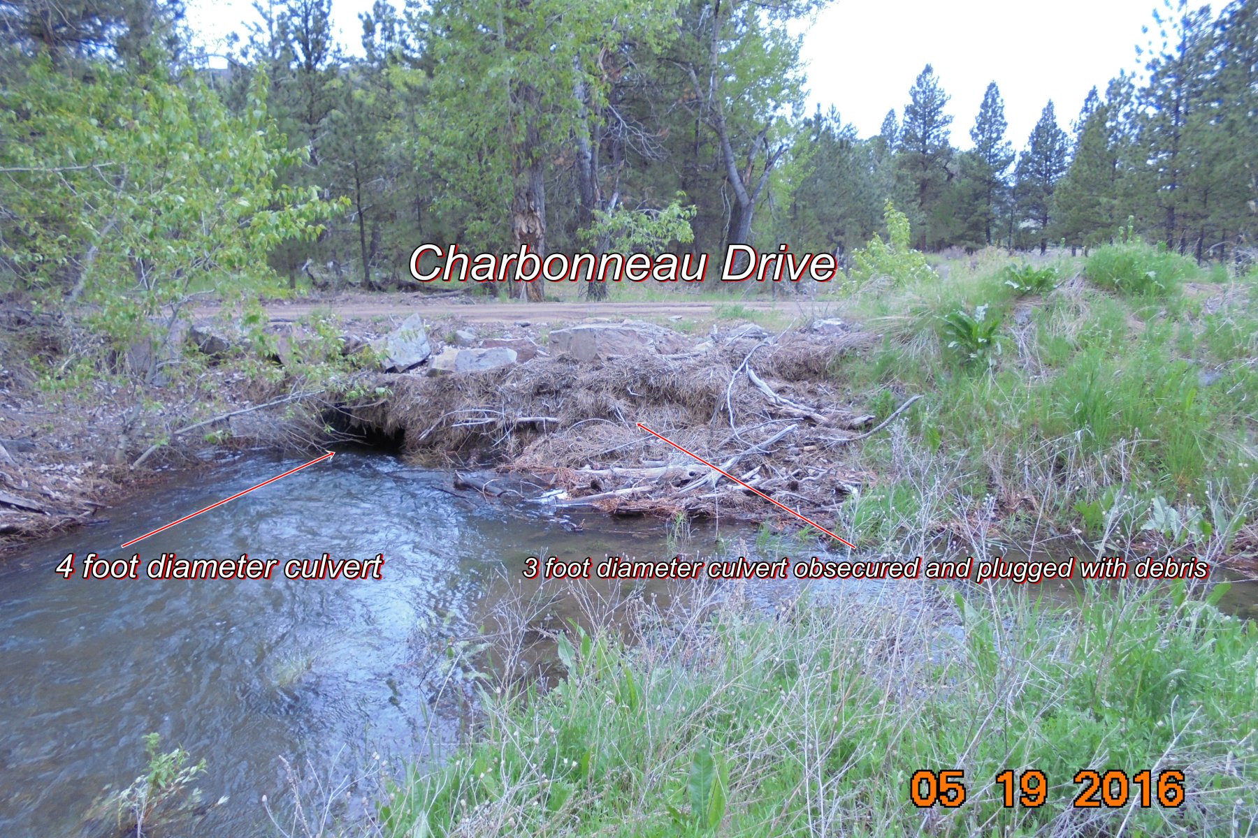
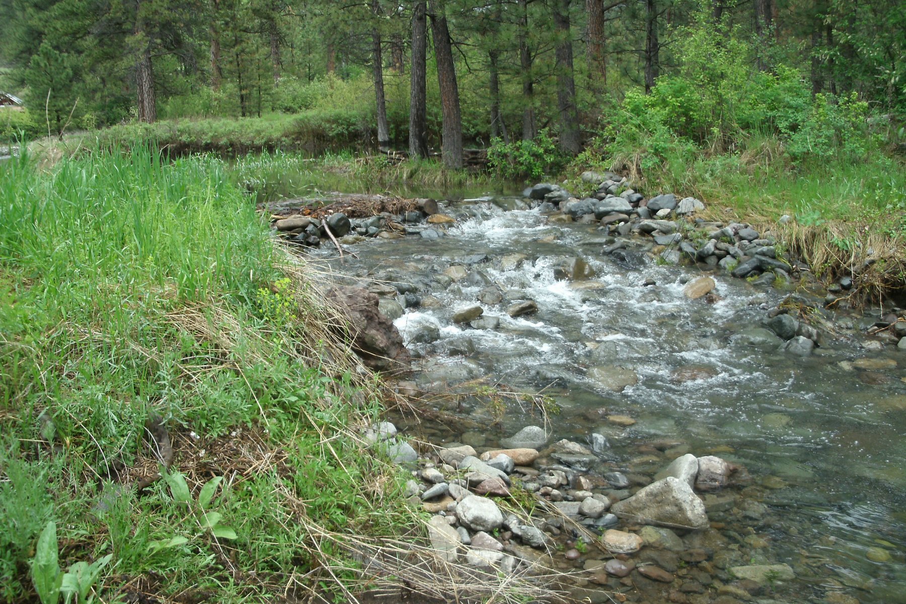
The Photos Below show Debris Plugged Culverts at Charbonneau Drive. This an example of why undersized culverts should not be used in the North Fork of Stickney Creek. The 3 foot and 2 foot culverts are plugged with debris to the point that the 3 foot culvert cannot be seen on the upstream side of the road. Undersized culverts are an ongoing problem in the North Fork of Stickney Creek not only at Charbonneau Drive but also at Spring Drive and Floyd Drive with the 2 foot culverts at the North End of the Floyd Drive Impound Structure (see photos below).
| ||||||
The Log supporting Floyd Drive goes without saying, is an accident waiting to happen. But, then again maybe using a rotting log is a good way to support a road. The Damaged Partially collapsed culvert even though it has been replaced with new culverts a little over a year after it was installed (costing Landowners thousands of dollars) should have been addressed and the company that performed the work required to repair it.
Representatives that are Elected by the Landowners should be addressing these issues.
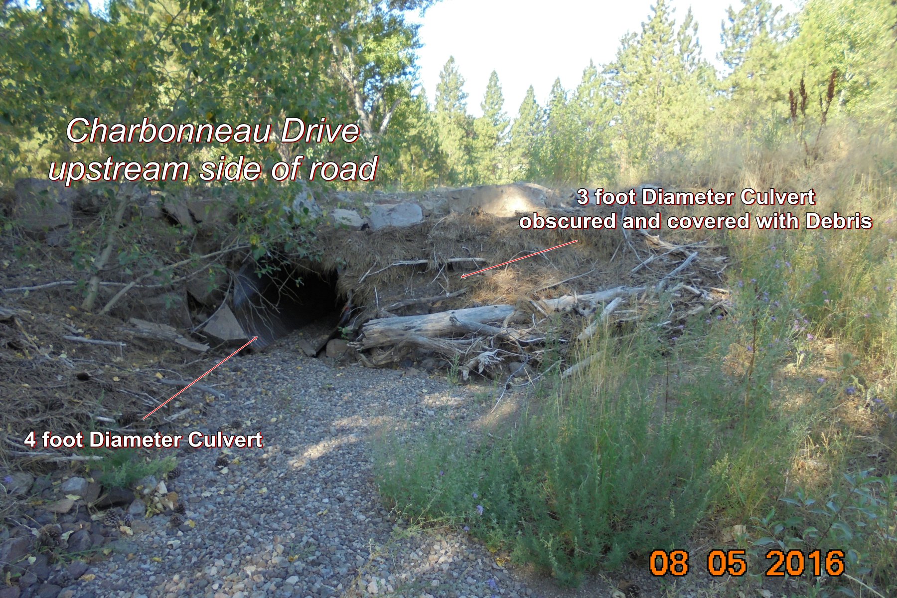
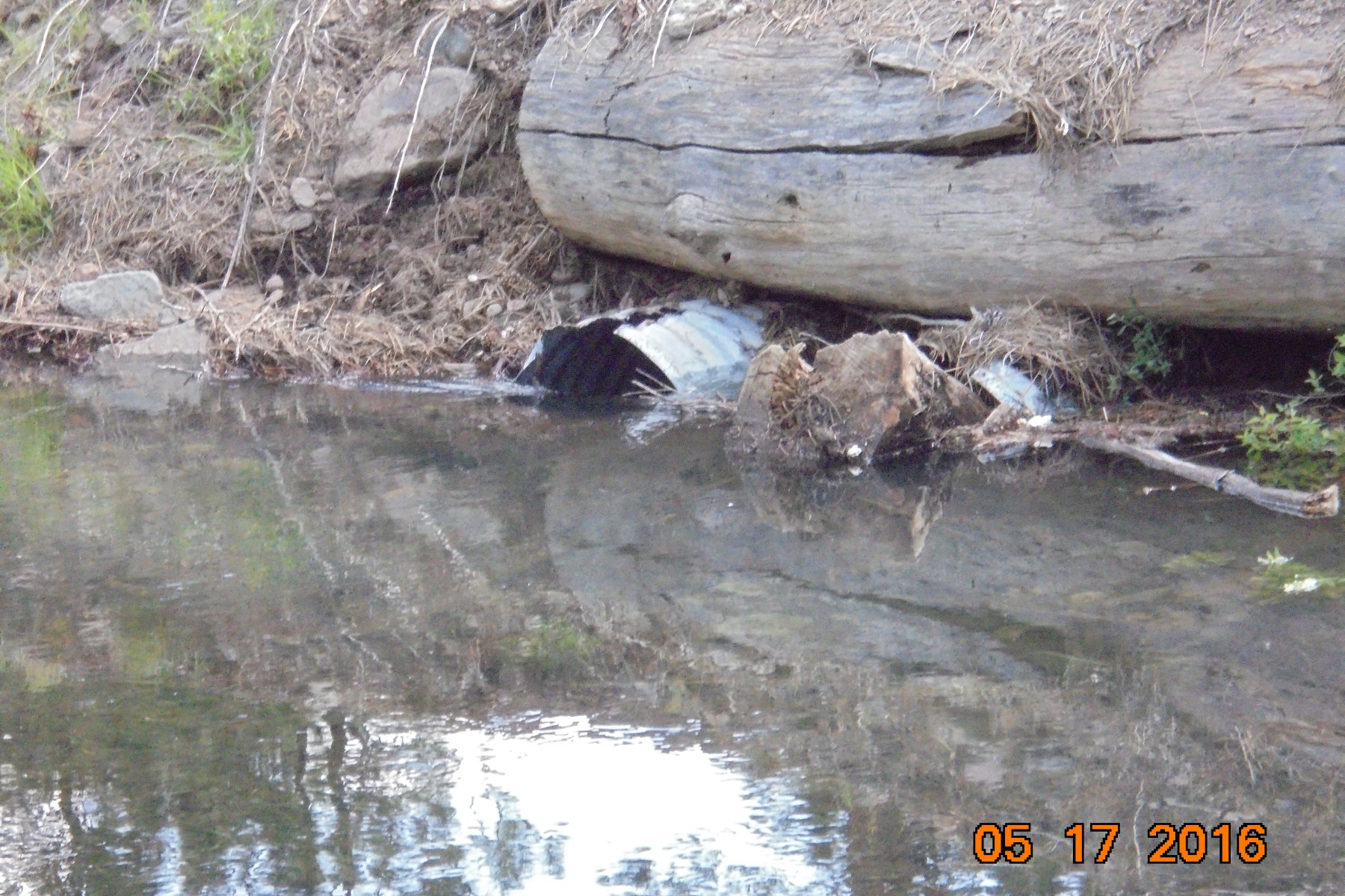
4, 2 foot diameter Culverts at the North End of Floyd Drive and the North Fork of Stickney Creek
Culverts are obscured and Plugged with Debris
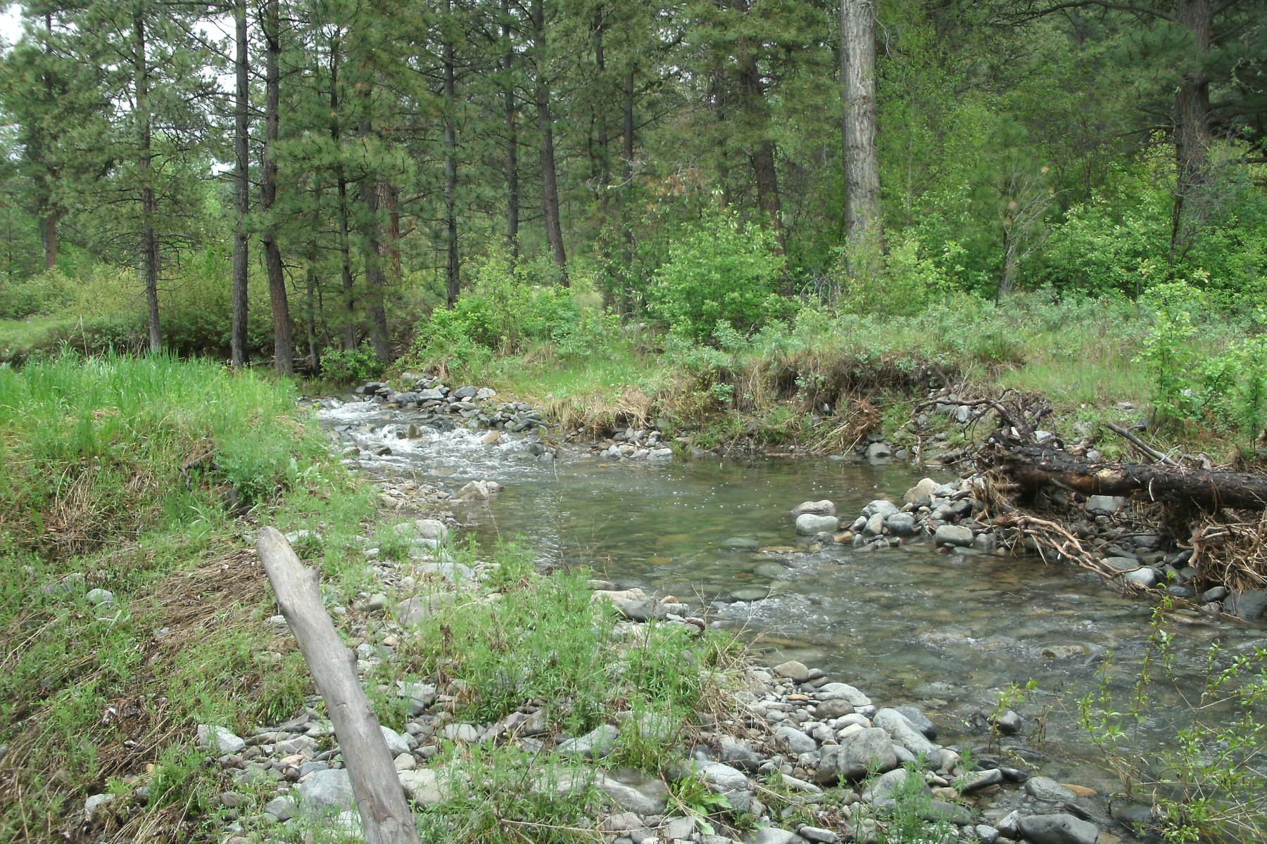
The Photos Below are of the recent cleanout (Sept 13, 2016) of the 3 foot diameter culvert at Charbonneau Dr. All that was done is a Backhoe was use to move the Debris from in front of the culvert up on the bank. When a heavy runoff occurs this debris will wash back into the stream flow and plug up the culverts again. It would have taken just a few minutes to actually remove the debris, pile it on the road and use the backhoe bucket to pick it up and dump it clear of the stream channel. This is what are the Landowner Fees are being used for.
Debris Pile
Debris Pile
Debris Pile
3 foot diameter culvert
Charbonneau Drive
Spring Drive
Unfortunately these Photos taken May 23, 2015 of Spring Drive are not better quality.
The road washout is partially due to undersized culverts
This is an excerpt from the 2010 Minutes of the 17th Annual Landowners Meeting
Photos of Dam/Levee break Upstream from Spring Drive. This break/washout occured in 2010. Apparently no other action was taken on this situation
These photos were taken May 2015
Click 'ON' the Menu Tabs Above to View other Pages
LCCD = Lewis and Clark Conservation District
ACOE = Army Corps of Engineers
MRR = Missouri River Ranches Landowners Corporation
ECR = Eagle Canyon Ranch